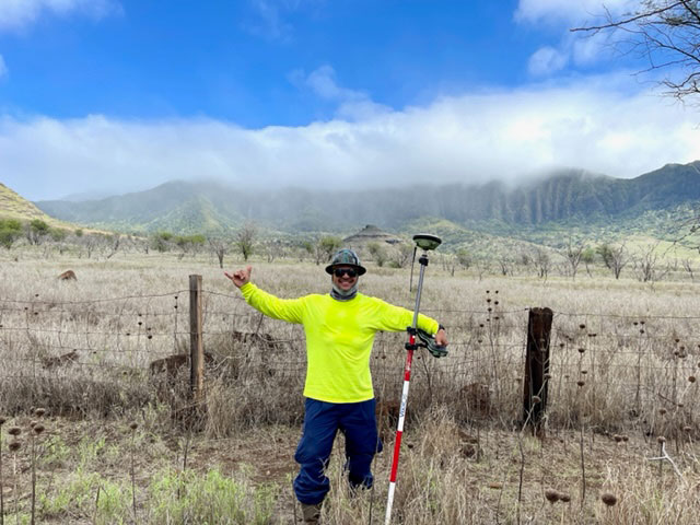
The K-2 boundary survey provides the client with a re-survey of the subject parcel. Monumentation (staking) of record property corners in accordance with subject parcel’s metes and bounds description is included. Monumentation in areas where no access is permitted, inaccessible locations, or areas that pose the potential for harm to field crew members may not be recovered or reset. A detailed report outlining the improvements and features (walls, fences, and other hardened structures) along the parcel’s boundary line is provided along with a sketch map. Clients may always make special requests at the time of the proposal development.